Pembrokeshire · Corridor
Part of the Haverfordwest, Tenby & the Pembrokeshire Coast area guide
Pembroke Dock
A practical local guide to habitats worth checking and the plants most likely to need careful identification.
Map of Pembroke Dock
51.6935, -4.9442
The map shows the general area only. It does not mark confirmed invasive plant sites or individual properties.
About the area
Pembroke Dock facts
Pembroke Dock is a movement corridor through Swansea, with verges, embankments and regularly disturbed ground alongside it. It is part of the Haverfordwest, Tenby & the Pembrokeshire Coast area, within about 30 miles of Swansea.
- The town grew from the farming settlement of Paterchurch after the Royal Navy dockyard opened there in 1814.
- The Cleddau Bridge, opened in 1975, carries the A477 across the river to Neyland.
- Carries regular traffic or rail movement through the Swansea area.
- Verges and embankments are cut on a maintenance cycle rather than left permanently untouched.
General local background, kept separate from the plant guidance below.
Local habitat
Where to look
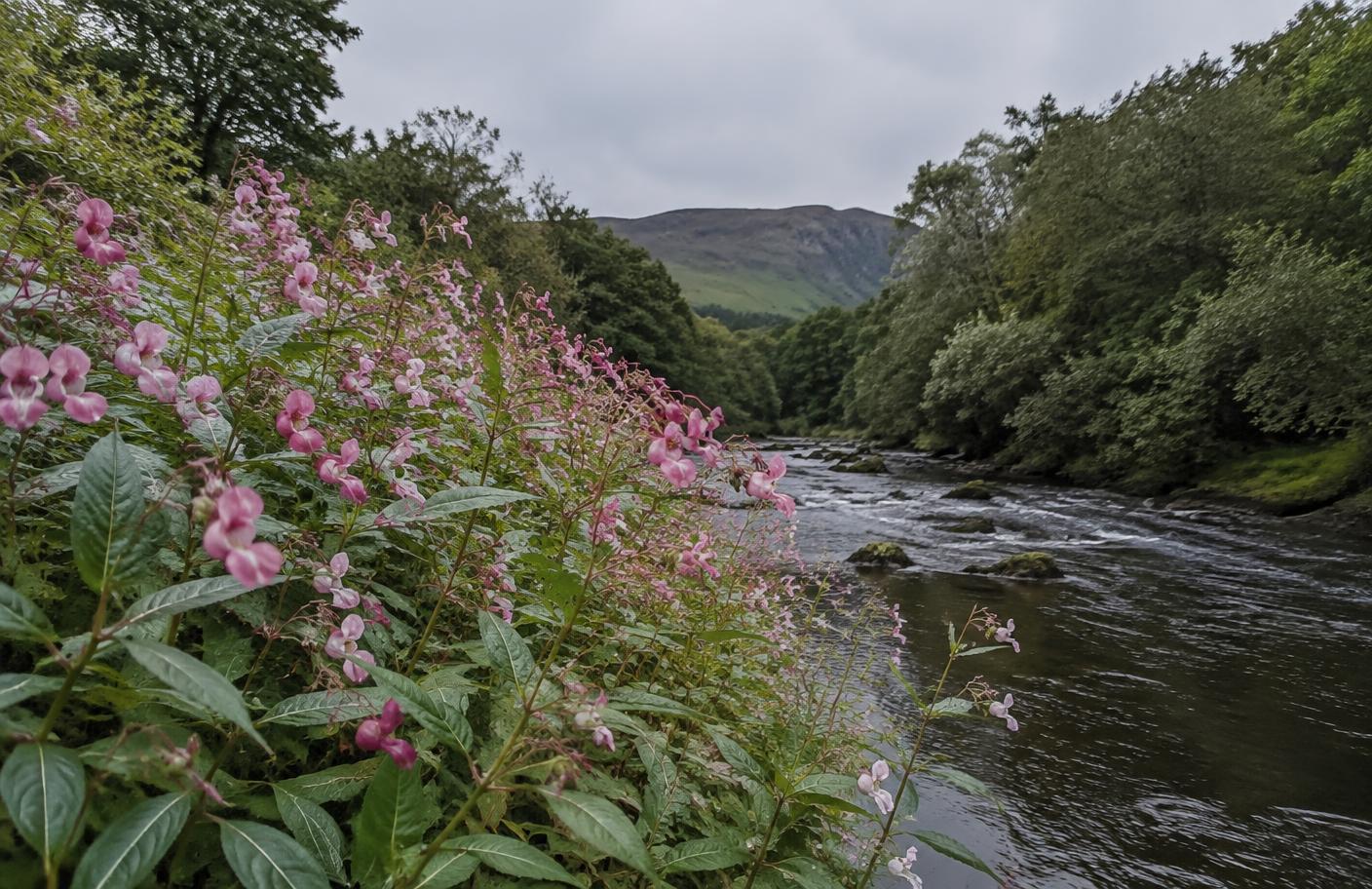
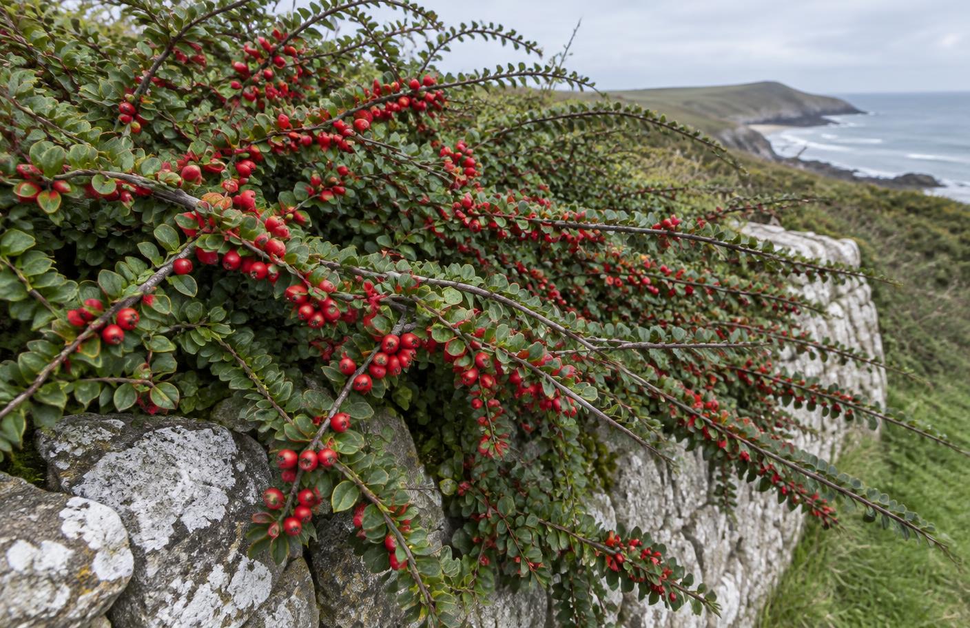
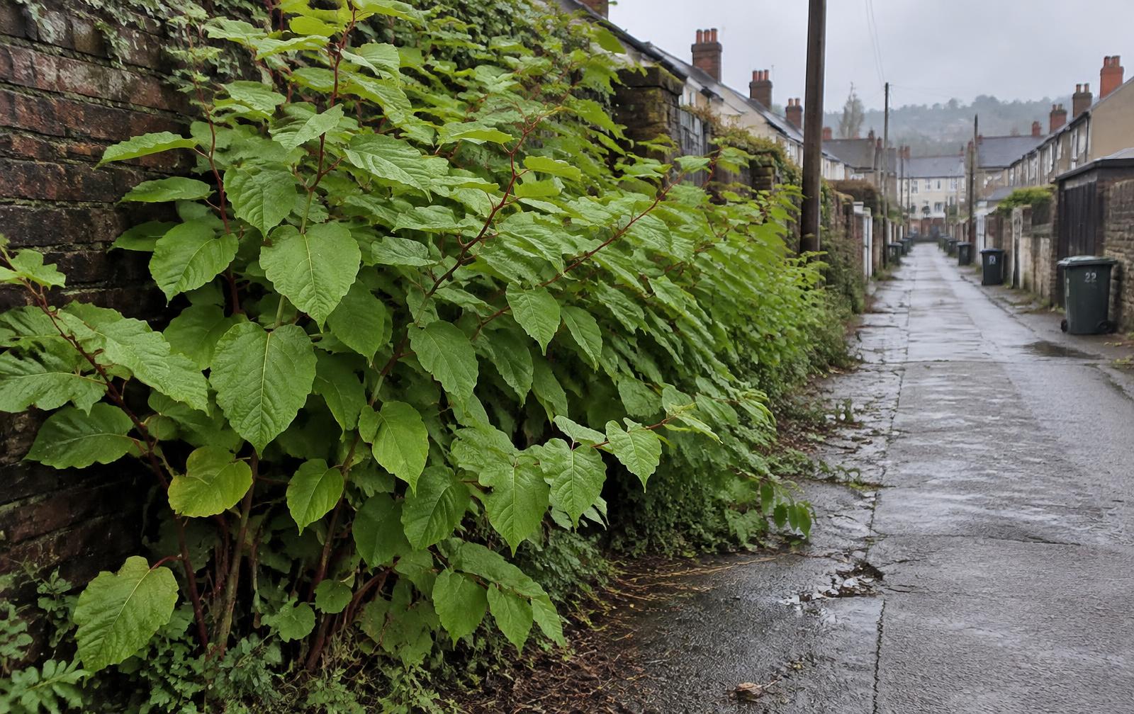
Verges, embankments, drainage channels, retaining walls and disturbed ground are the main places where invasive or escaping garden plants can establish around Pembroke Dock.
This is habitat guidance, not a claim that a particular property or site is infested.