Llanelli & east Carmarthenshire · Green space
Part of the Llanelli, Burry Port & the Amman Valley area guide
Pembrey
A practical local guide to habitats worth checking and the plants most likely to need careful identification.
Map of Pembrey
51.6876, -4.3094
The map shows the general area only. It does not mark confirmed invasive plant sites or individual properties.
About the area
Pembrey facts
Pembrey is a managed green space in Swansea with woodland edges, paths and mown and unmown ground side by side. It is part of the Llanelli, Burry Port & the Amman Valley area, within about 30 miles of Swansea.
- A munitions factory making TNT operated at Pembrey Burrows from 1914, becoming a Royal Ordnance Factory in the Second World War.
- Its former site is now Pembrey Country Park, overlooking the eight-mile sands of Cefn Sidan.
- Open to the public and maintained as green space within the City and County of Swansea.
- Mixed woodland, grassland and damp hollows here support birds, insects and small mammals.
General local background, kept separate from the plant guidance below.
Local habitat
Where to look
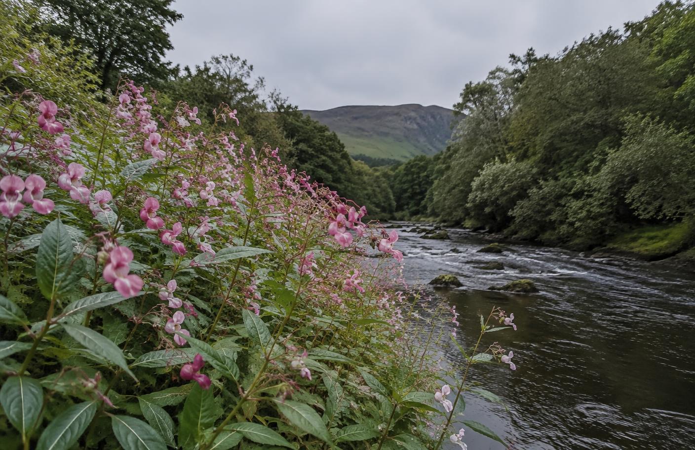
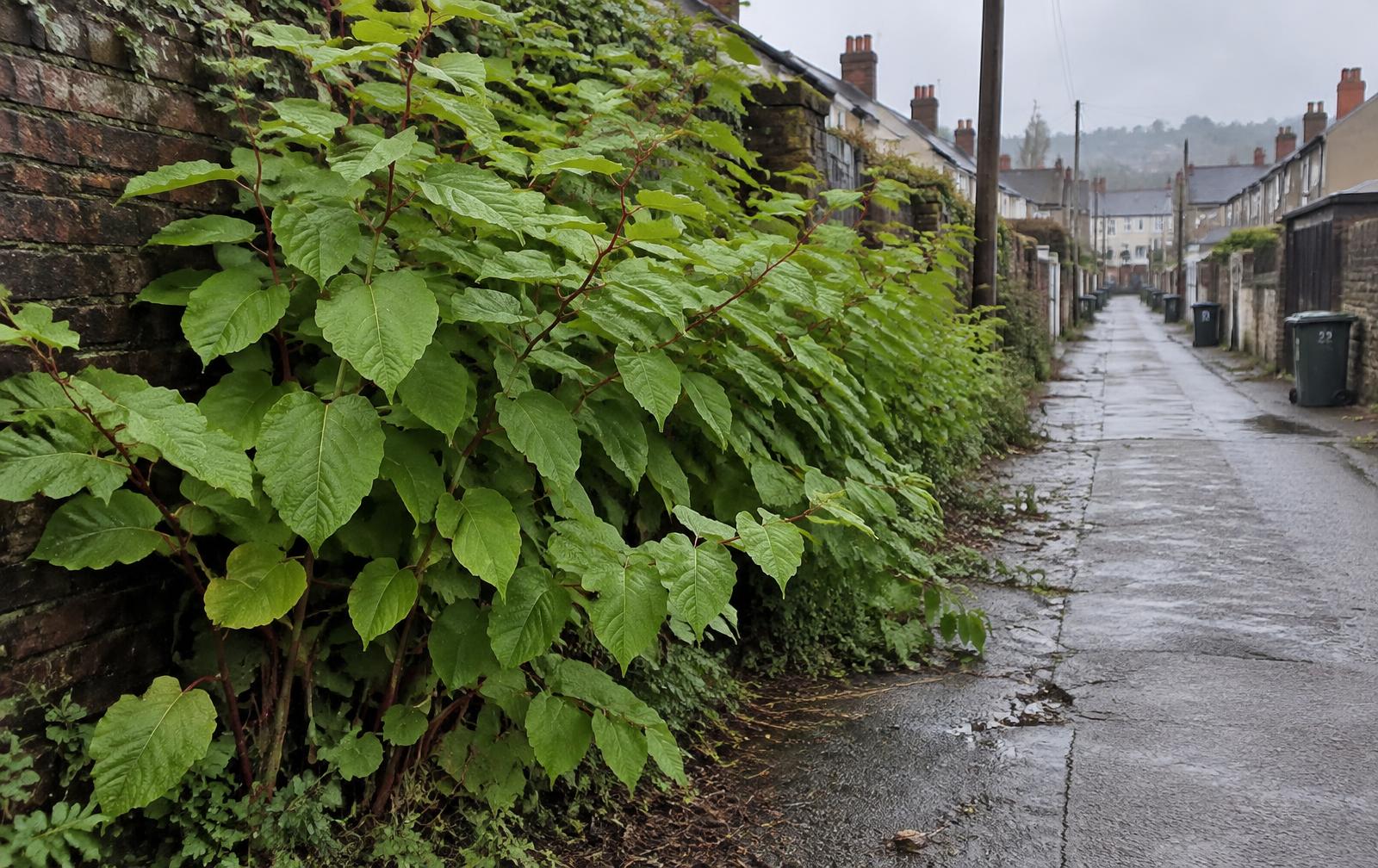
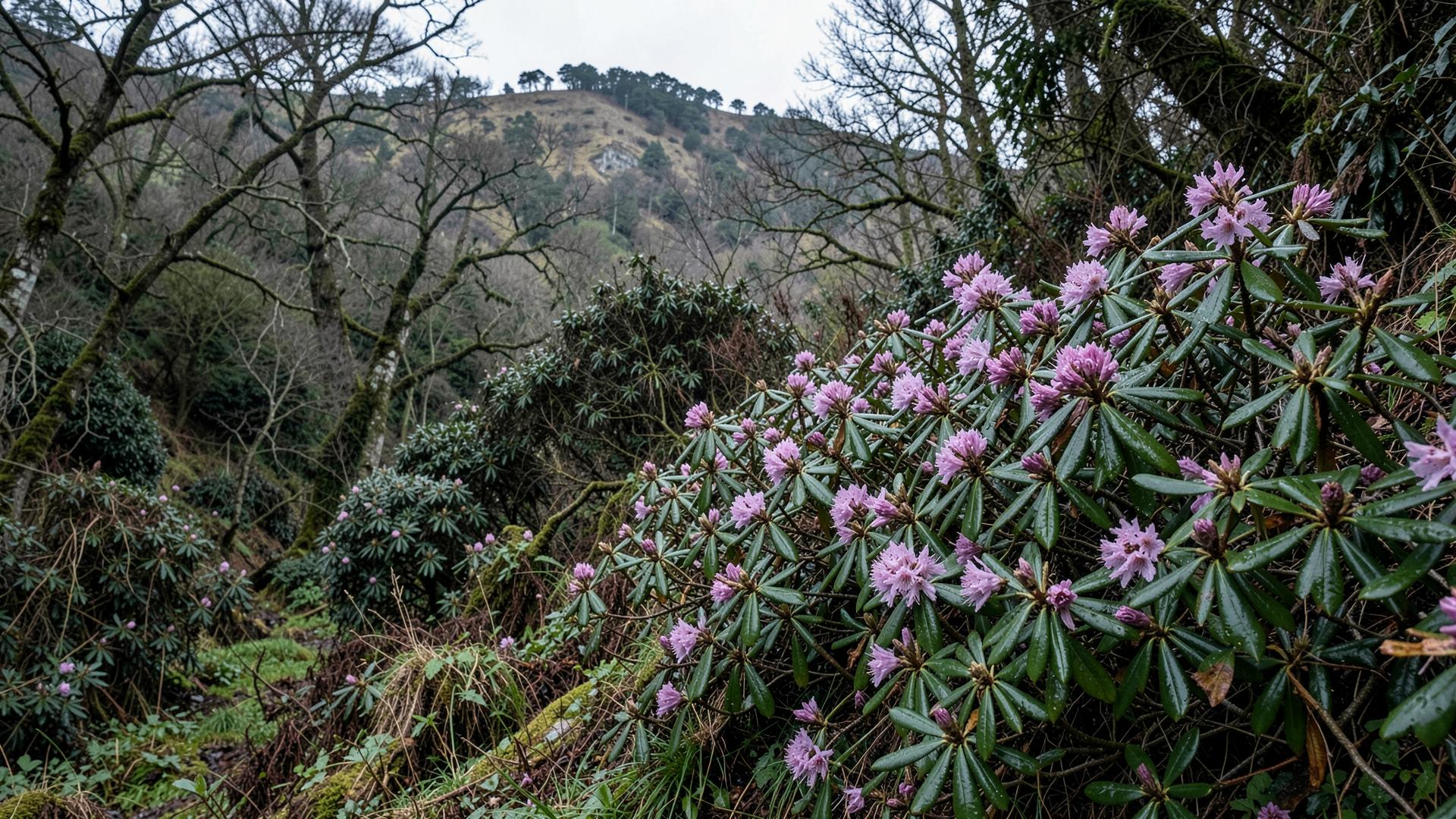
Woodland edges, paths, damp hollows, unmanaged banks and garden boundaries are the main places where invasive or escaping garden plants can establish around Pembrey.
This is habitat guidance, not a claim that a particular property or site is infested.