Swansea coast · Coast
Part of the Mumbles, Langland & Caswell area guide
Bracelet Bay
A practical local guide to habitats worth checking and the plants most likely to need careful identification.
Map of Bracelet Bay
51.5673, -3.9812
The map shows the general area only. It does not mark confirmed invasive plant sites or individual properties.
About the area
Bracelet Bay facts
Bracelet Bay is an exposed stretch of the Swansea and Gower coastline, shaped by salt wind, sand and rock. It is part of Mumbles, Langland & Caswell within the City and County of Swansea.
- Forms part of Swansea's coastline along the Bristol Channel, where the tidal range is among the largest in the world.
- Cliffs, dunes and shingle here support specialised plants that cope with salt, wind and shifting sand.
- Sections of this coast are reached by the Wales Coast Path, so most viewpoints are open to the public.
General local background, kept separate from the plant guidance below.
Local habitat
Where to look
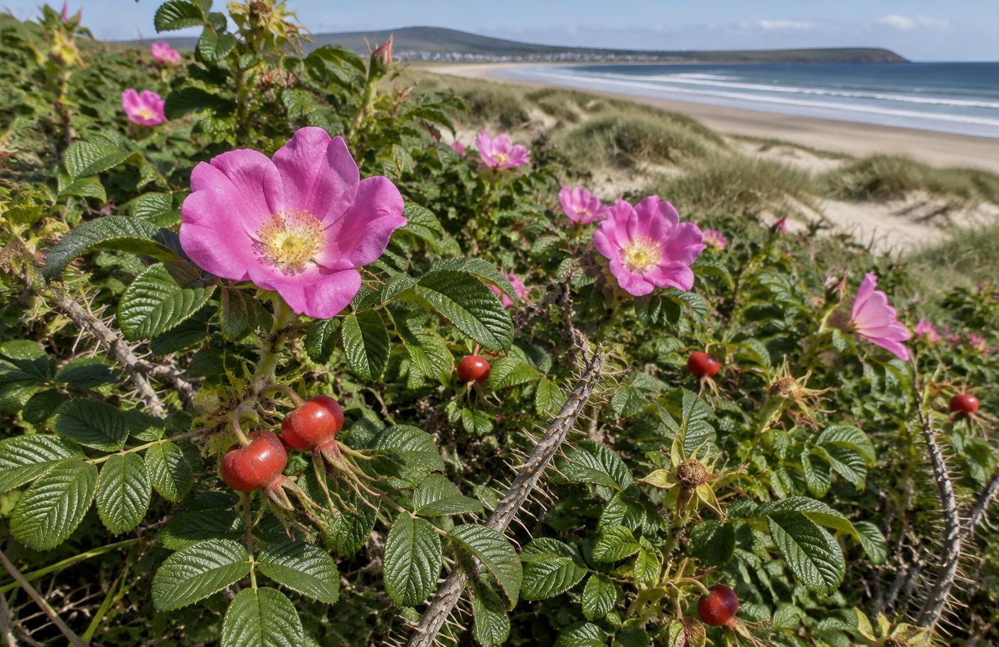
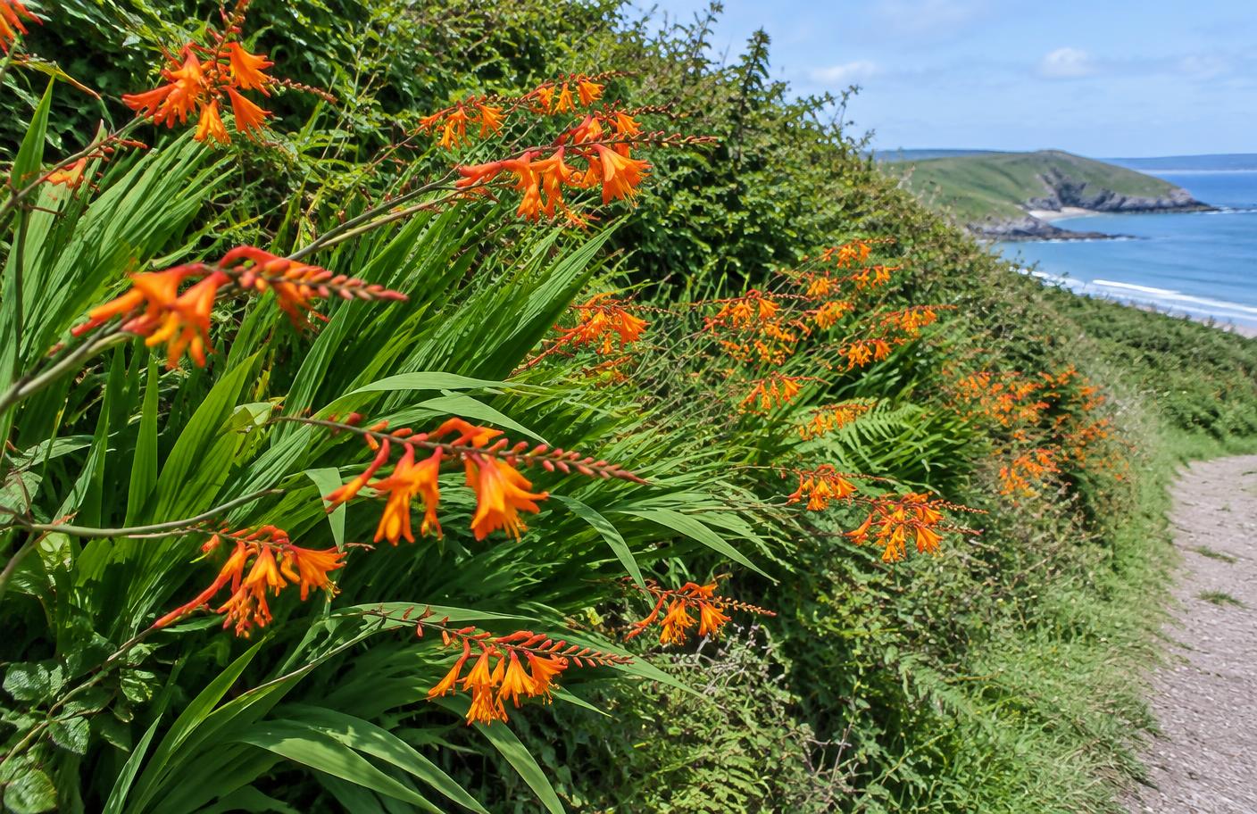
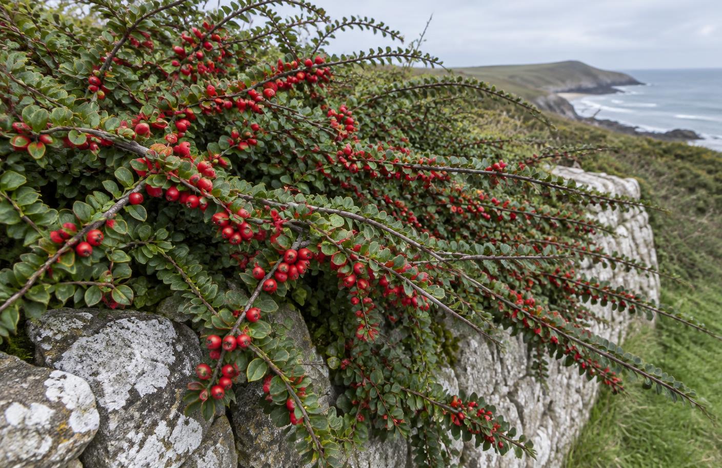
Cliffs, dunes, coast-path edges, scrub and disturbed beach approaches are the main places where invasive or escaping garden plants can establish around Bracelet Bay.
This is habitat guidance, not a claim that a particular property or site is infested.